Mount Stanley (Democratic Republic Of The Congo/Uganda)
Total Area:
Total Area: 2,344,858 sq km
Land Area: 2,267,048 sq km
Water Area: 77,810 sq km
Size Comparison: A bit smaller than 1/4 the size of the U.S.
Boundaries:
Countries Bordered: Angola, Burundi, Central African Republic, Republic Of The Congo, Rwanda, South Sudan, Zambia, Tanzania, and Uganda
Total Distance Of Boundaries: 10,481 km
Total Distance Of Coastline: 37 km
Climate & Terrain:
Description Of The Climate: Tropical climate with it hot and humid near the river basin, but cooler and drier in the highlands. Generally cooler and wetter in the East.
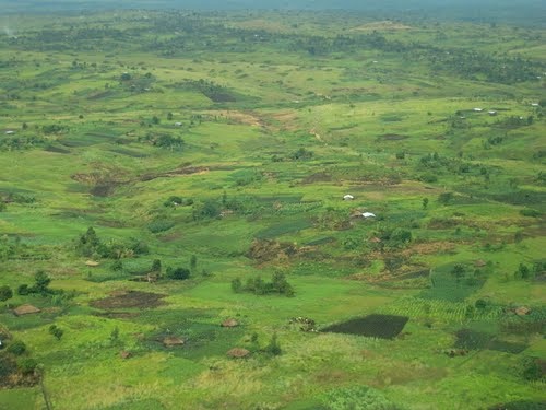
Description of Terrain: Large, flat terrain with mountains to the East.


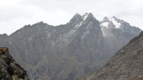 Mount Stanley (Democratic Republic Of The Congo/Uganda)